Distance: 80 km (49.7 mi) 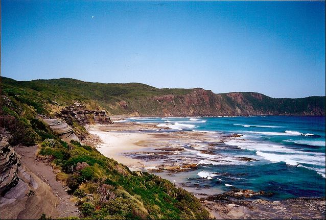
Average Time: 4 or 5 days
Difficulty: Moderate
Start / Finish:
- Cockle Creek – Melaleuca
- There is no public transport to Cockle Creek. It is possible to take a bus from Hobart to the town of Dover and from there a taxi to the trailhead (44 km).
- Melaleuca is accessible by light airplane with Par-Avion.
Season:
- November – April
- February and March represent your best chance (chuckle, chuckle) of good weather.
Maps / Info:
- Map: You can pick up either a paper copy or a digital download of the 1:100,000 South Coast Walks map from TASMAP. The hiking map can also be purchased at outdoor stores throughout Tasmania.
- Guidebook: John Chapman’s South Coast Track (2nd Edition) and South West Tasmania (6th Edition) include maps, trekking notes, flora and fauna information, and logistical details.
- GPS: See AllTrails for GPX data for the trail (plus the Port Davey Track extension).

Route / Conditions:
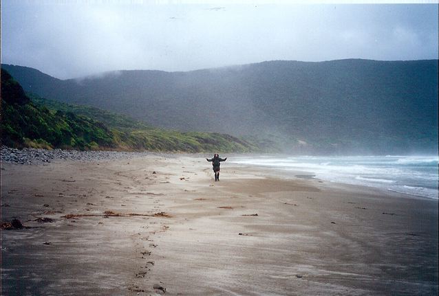
- The weather in South West Tasmania is amongst the wildest and most unpredictable on the planet. Be sure to bring good waterproofs and warm clothing.
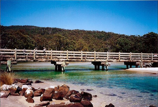
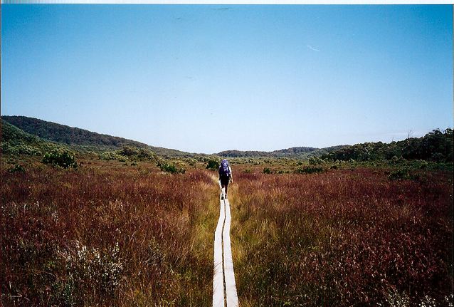
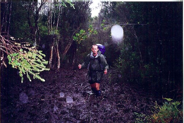
- There are some very muddy sections on this hike, although in recent years increased boarding and track development has made the South Coast Track a much less boggy proposition than it once was. Nonetheless, this is Tasmania and gaiters are definitely recommended.
- The trail is relatively easy from a navigational perspective.
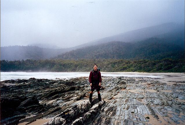
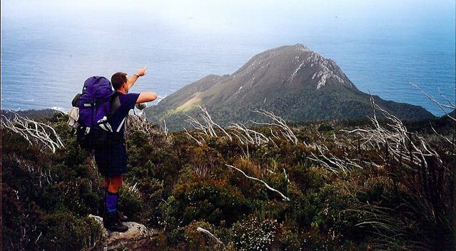
- The high-level section over the Ironbound range is quite exposed and care must be taken during storms.
- One of the cool things about this hike is the rowboat crossing of New River Lagoon. This was actually the first time I had ever rowed a boat, and to this day my cousin Wade, with whom I did this trek, takes great pleasure in reminding me how ordinary/comical/haphazard my rowing efforts were.
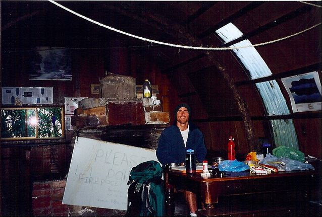
Sleeping:
- Bring a tent. Be sure that it holds up well in a storm.
Overview:
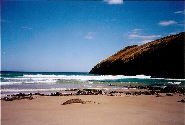
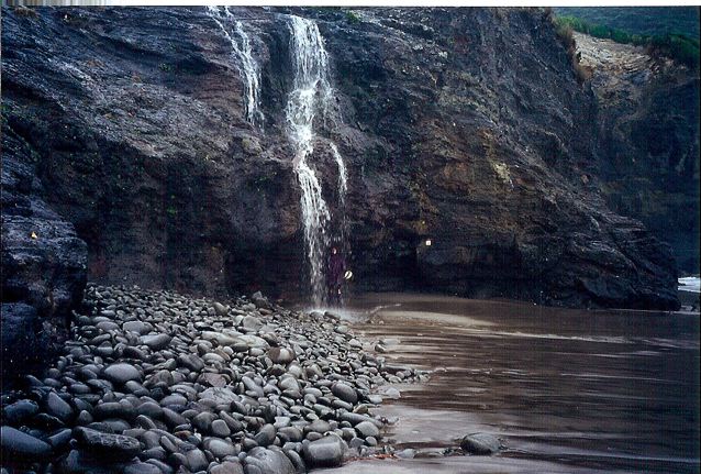
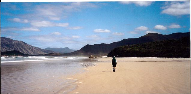
- Great hike. Rugged mountains, pristine beaches, wonderful views and at times challenging terrain.
- Due to time restrictions/work commitments, we had to finish our hike in Melaleuca (from where we got a flight). With more time on your hands, I would recommend linking this trail up with the Port Davey trek, which adds a further 75 km to your walk and finishes at the road accessible Scott Peaks Dam.
Discover more from The Hiking Life
Subscribe to get the latest posts to your email.