 Distance: 46.6 miles (75 km) (including side trips)
Avg.Time: 3 days
Difficulty: Moderate
Start / Finish:
- Guarderia Anitcura – Rinanahue
- Both trailheads are serviced by buses from Osorno.
- The final 25-30km stretch of the hike is on a lightly trafficked dirt road. Not so appealing. On the bright side, if someone does happen to pass by, they are more than likely to give you a ride all the way to Rinanahue.
Season:
- November to May.
Maps / Info:
- I used the map and trekking notes contained in Lonely Planet’s Trekking in the Patagonian Andes (1992). The most recent edition of this excellent guidebook came out in November 2009.
- In addition to the Lonely Planet, you can pick up a 1:40,000 Trekking map available at the El Caulle entrance to the park (30 minutes walk from Anticura). Whilst there, you will also need to pay an obligatory entrance fee.
- For general information on Puyehue National Park check out the Chile Travel website.
- Purchase all supplies in Osorno.
Route / Conditions:
- The trail is relatively well marked and easy to follow from start to finish.
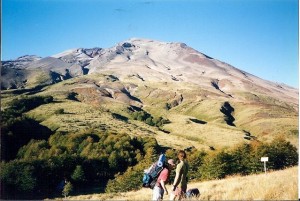
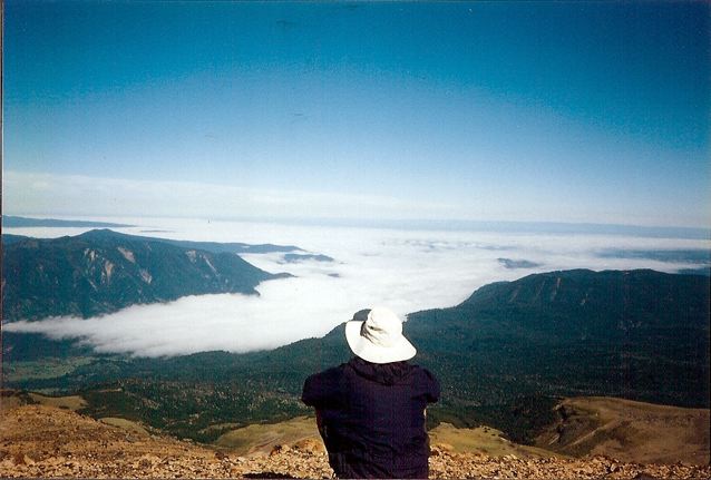
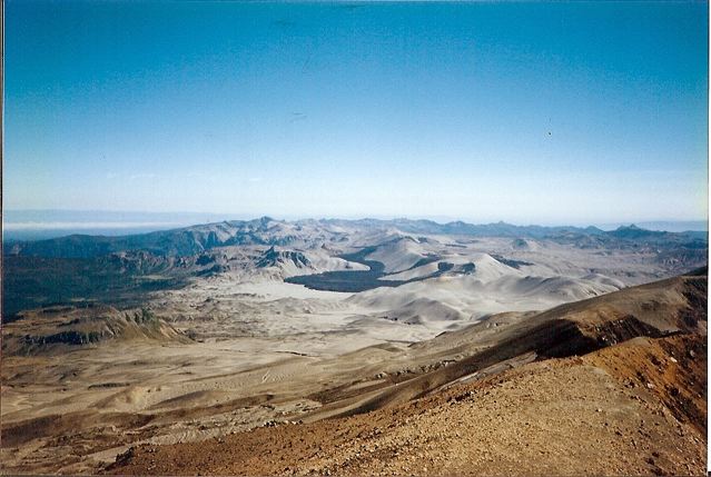
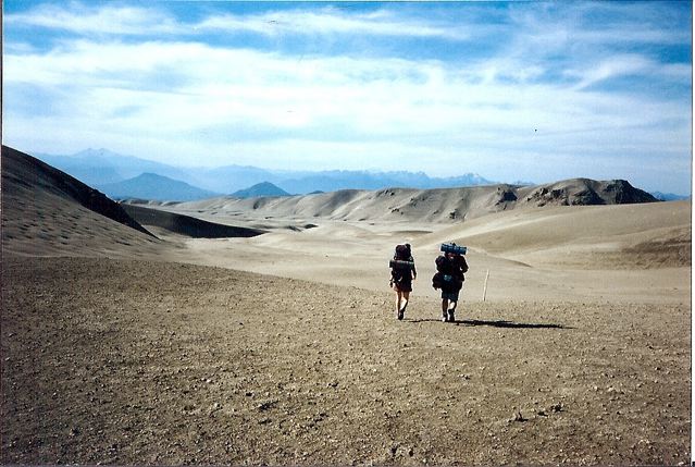
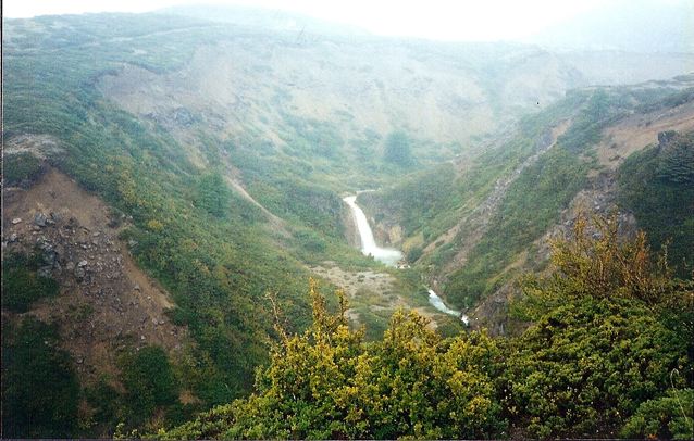
- The thing I remember most about the Puyehue Traverse was the diversity. Lenga forests, volcanic moonscapes, thermal pools, waterfalls and bamboo forests. By no means a boring hike.
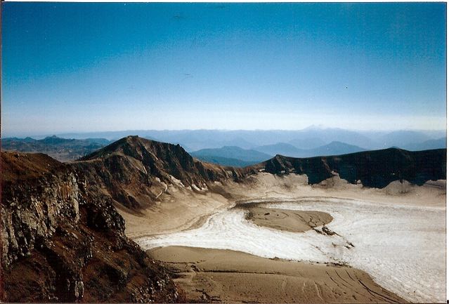
- The side trips to the crater of Volcan Puyehue and the Thermal springs are the highlights of the trek. Not to be missed.
Sleeping:
- Bring your own shelter. There is one basic, unattended refugio (mountain hut) situated at the base of Volcan Puyehue. This was in pretty poor condition when I hiked in 1997. Not sure if it has been renovated in subsequent years.
Overview:
- Fantastic hike. The only negative is the long dirt road walk to Rinanhue. Good luck getting a hitch.
Discover more from The Hiking Life
Subscribe to get the latest posts sent to your email.