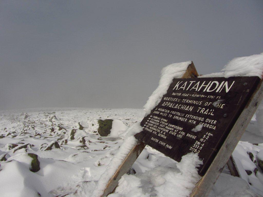
Summit of Mount Katahdin
Distance: 114 miles (183.4 km)
Time: 3.5 days (10/16/11 – 10/19/2011)
Daily Average: 32.6 miles (52.4 km)
Total Distance: 624 miles (1004 km)
Highlights:
- Mt.Katahdin – The southern terminus of the IAT and the jewel of Baxter State Park. The name “Katahdin” was given by the native inhabitants of the area, the Penobscot Indians. It literally translates to “greatest mountain”. I was very fortunate to reach the summit in fine weather (October 19), and doubly so to have such a magnificent spot all to myself.
- Appalachian Trail Lodge – A rambling, labyrinth-like, century old house with more than 80 doors! The proprietors, Paul and Jamie (trail names “Ole Man’ and “Navigator”), are wonderful hosts who receive more than a 1400 hikers annually.
Lowlights:
- Road walking: The final stretch of the IAT through Baxter State Park is closed for all camping after October 15, which meant that I needed to take the original road-walking route down Route 11.
- The Boundary Trail, which began soon after the border crossing from New Brunswick, was more of a swamp than a trail. Should have brought flippers rather than trail runners!
Discover more from The Hiking Life
Subscribe to get the latest posts sent to your email.