
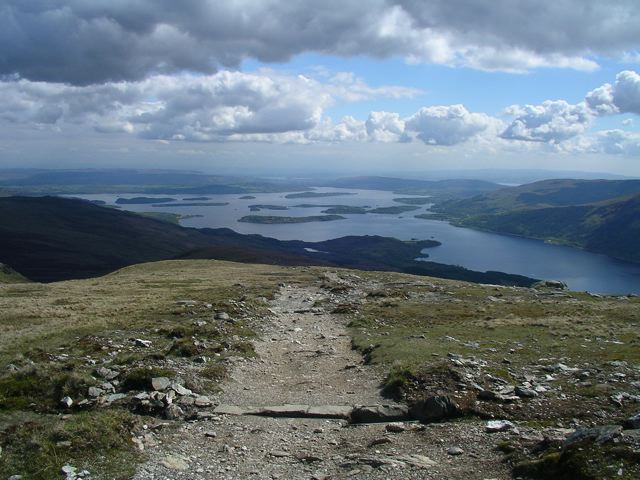
Overlooking Loch Lomond
Distance: 7.5 miles (12 km)
Avg.Time: 5 hours
Start / Finish:
- Rowardennan car park
- Approximately one hour’s drive from Glasgow to the trailhead.
- During the summer months, there is a ferry from Tarbert Pier to Rowardennan. Tarbert is accessible by regular bus services from Glasgow.
Season:
- All year. Ice axe and crampons may be needed in winter.
- May to September offers your best chance of fine weather.
Tourist path to the summit.
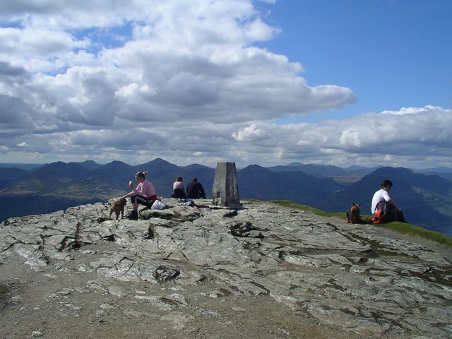
Summit of Ben Lomond
Maps / Info:
- OS Explorer 364 Loch Lomond North or Landrangar 56–Loch Lomond Inveraray.
- Click here for a free printable route map from walkhighlands.co.uk.
- Ben Lomond is justifiably one of the UK’s most popular day hikes. It is located on the eastern shore of Loch Lomond and is the most southerly of Scotland’s Munros.
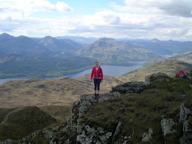
Rach with Loch Lomond in the background.
Route / Conditions:
- I recommend taking the wide and easy to follow ‘tourist path’ on the ascent. If the weather is good, try the more challenging Ptarmigan track on the way down.
- Double-check the forecast before setting out. Scottish weather is notoriously unpredictable irrespective of the season.
Overview:
- Fantastic views over Loch Lomond in fine weather.
- After finishing your walk, you can stop in for a pint or two at the Rowardennan Hotel. This holds doubly true if you have been splashing about in wet weather. As a wise Scotsman once said, “It never rains in the pub.”
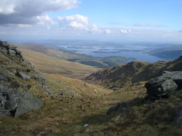
Descending via the Ptarmigan track.
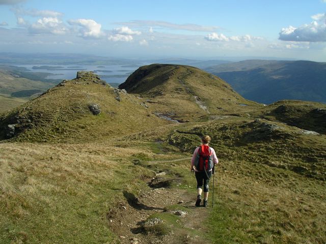
Descending via the Ptarmigan track.
Discover more from The Hiking Life
Subscribe to get the latest posts sent to your email.