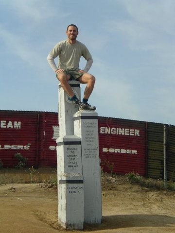
PCT southern terminus | Campo, CA
Distance : 2650miles (4265km)
Avg.Time : 5 months
Start / Finish :
- Campo – Manning Park
- Campo can be accessed by a regular bus service from San Diego.
- Alternatively you may be able to organise a ride with a “Trail Angel.”
- From the Canadian Border marker, you need to walk another 9 miles to Manning Park Lodge. From there, a Greyhound bus departs daily for Vancouver. The trip takes about 4 hours.
- For anything and everything related to getting to and from the trail, see the Pacific Crest Trail Association Transportation page for details.
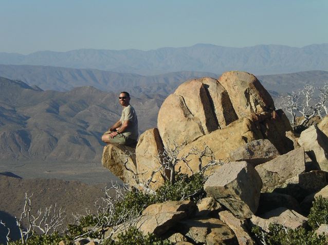
Anza Borrego Desert
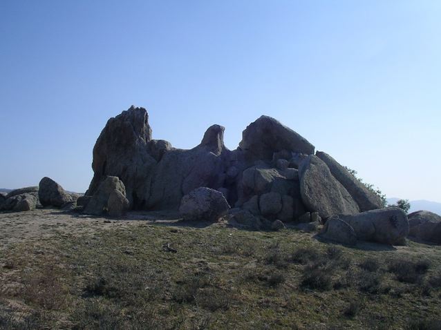
Eagle Rock
- Yogi’s PCT handbook is your best source of information for getting to and from the trailheads: http://www.pcthandbook.com/
Season :
- April to early October.


- There are two key climate considerations to keep in mind when planning your PCT hike: 1. Entry date into the High Sierra, and; 2. Finishing date at the Canadian border.
- High Sierra: In an average year, you don’t want to leave Kennedy Meadows (the unofficial starting point for the High Sierra) too early due to snow levels. Generally speaking, mid-June is considered to the optimum time for your average thru-hiker (ie. some one planning to take five months) to leave Kennedy Meadows. A good source of online information in regards to PCT snow levels is the Pacific Crest Trail Post Holer.
Trail Magic on Fuller Ridge
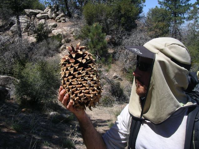
Sugar Pine Cone
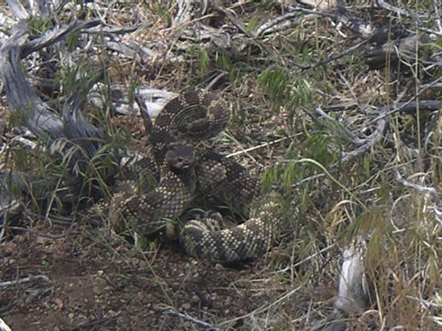
Rattler
- Canada: Aim at finishing before the end of September, or at the latest early October. Heavy early season snow falls have stopped the progress of more than a few would-be thru hikers with the Canadian border almost (relatively speaking) in sight.
Maps / Info :
- During its 4265km course, the Pacific Crest Trail passes through 3 states, 7 national parks, 24 national forests and six different ecozones.
Approaching Mt.Whitney
Approaching Forrester Pass
- For navigation purposes, I recommend using Halfmile’s PCT Trail maps. These maps use a 1:31,680 scale, and contain GPS waypoints of water sources and other hiking-related landmarks. All maps can be downloaded from the internet for free, however, considering the amount of work that Halfmile has put in preparing the maps, a generous donation is recommended.
- Another great planning resource is Yogi’s PCT Handbook. Loads of practical information on anything and everything pertaining to the PCT (eg. resupplying, gear recommendations, tips for snow and desert, town accommodation, etc.).
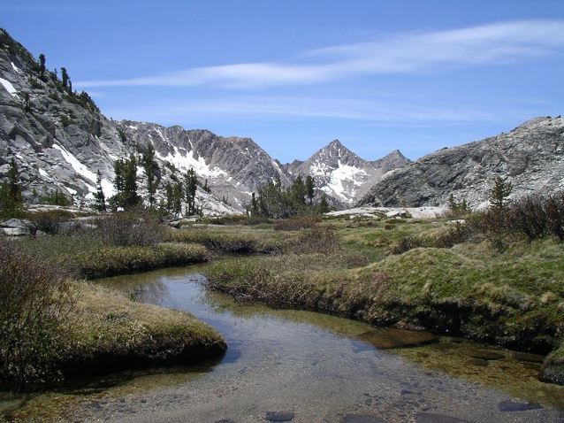
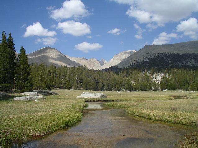
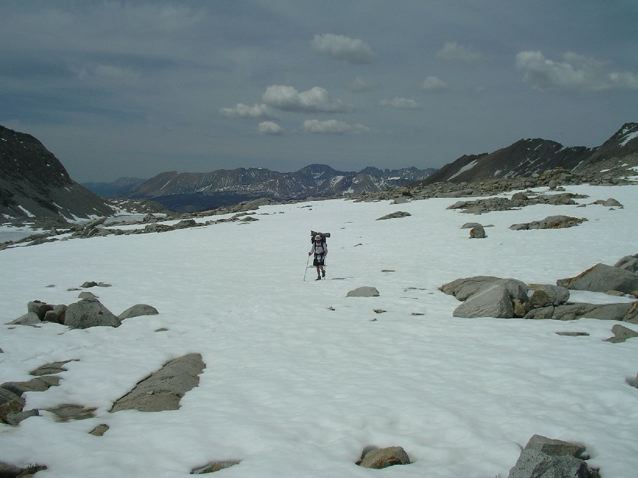
High Sierra
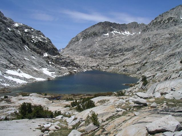
High Sierra
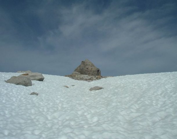
Muir Hut
- For online information, check out thru-hiker Paul Magnanti’s (aka. “Mags”) Quick and Dirty Guide to the PCT. Addresses many of the queries, doubts and logistical conundrums, that first-time thru hikers may have whilst planning their multi-month journey.
Route / Conditions :
- For the most part the trail is relatively well marked and easy to follow. The primary exception can be the High Sierra section. Depending on when you go through, large portions of the trail may be obscured by snow, meaning that a reasonable level of navigational proficiency will be necessary in order to find your way safely.
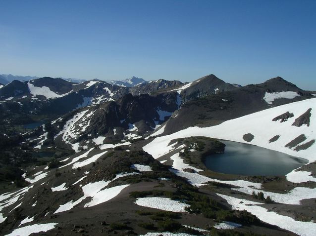
View from the Pacific Crest, just south of Sonora Pass
Sunset in the Russian Wilderness
- Temperatures can range from scorching in the Mojave to sub-zero in the High Sierra. Geographically speaking, you pass through deserts, lava fields, old-growth forests, glacier-carved valleys and snow capped peaks. It is difficult to overstate the beauty and overwhelming diversity that the PCT has to offer.
- Water: A lack of precipitation, translates to a lack of water in the arid sections of southern California. Know where your sources are situated. The PCT data book is excellent in this regard. For up-to-date information on the PCT water situation, see the following site: http://www.4jeffrey.net/pct/. See Hydration in the HEALTH & SAFETY section for tips on hydration strategies.


- Snow: Once you reach Kennedy Meadows (702 mile mark), your water issues are largely behind you. The next big challenge is snow. See Snow in the SKILLS section and Clothing in the GEAR section for tips and links to other useful sites. As mentioned above, Pacific Crest Trail Post Holer is a good source of information on up-to-date snow conditions.
- Rain: It doesn’t rain much on the PCT before you reach Washington. Four-season tents, heavy-duty rain gear and waterproof boots are overkill. That being said, be sure to carry at least a water resistant windshirt or poncho just in case.
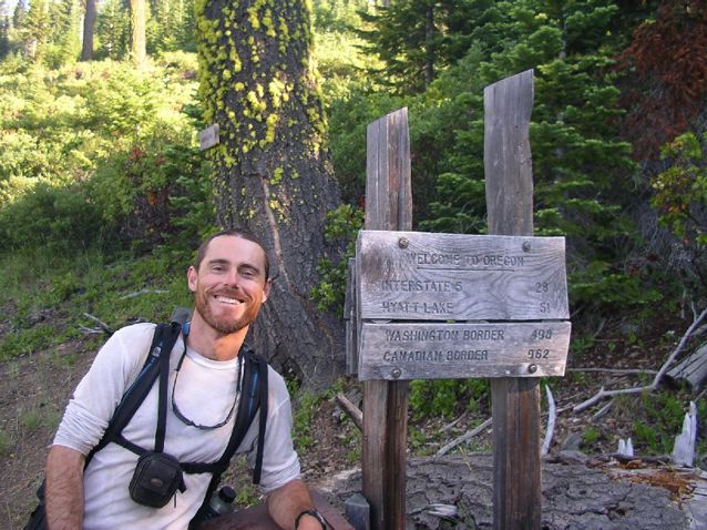
California / Oregon Border
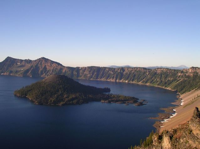
Crater Lake
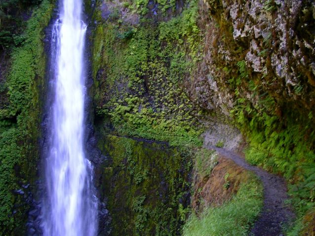
Tunnel Falls
- Elevation: Although there is a great deal of elevation gain and loss, the trail is rarely steep due to the fact that it is graded to meet equestrian regulations. Due to the mellow nature of the gradients, altitude sickness is very rarely an issue for PCT hikers. The lowest point on the trail is 140ft. above sea level at the Columbia River Gorge; the highest point is 13,180ft at Forester Pass.
- Resupply: There are plenty of places to resupply along the way. The longest stretch between resupply points close to the trail is in the High Sierra, from Kennedy Meadows to VVR resort (175miles). Apart from in the Sierra, your average thru-hiker should never have to carry more than 6 days food at any one time. The PCT Data book and Yogi’s guide (see above) are your best sources of resupply information.
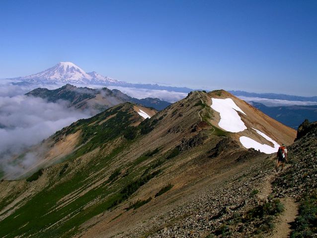
Goat Rocks
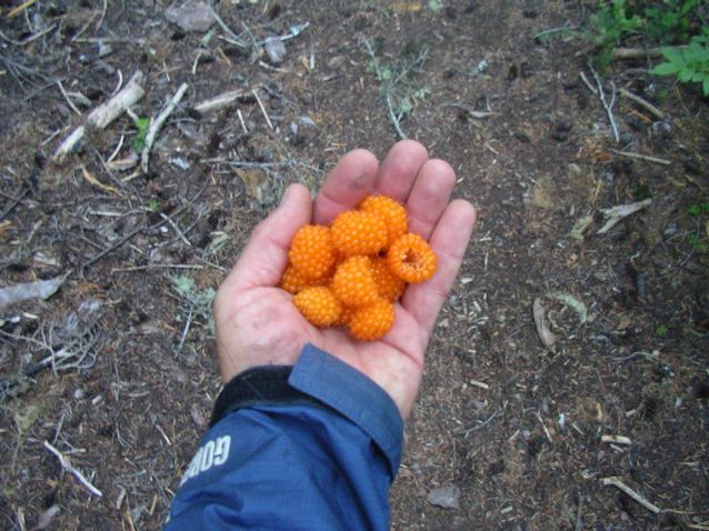
Salmonberries
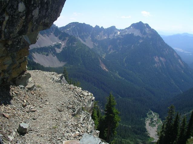
Kendall Katwalk
Sleeping :
- There are only a handful of huts the entire route. Bring your own shelter. Make it a light one.
Overview :
- The Pacific Crest Trail is an incredible experience on various levels. The diversity of landscapes is unequalled. The hospitality and friendliness of people along the way is unforgettable. And finally, your choice to willingly spend such a long period of time out in nature, with everything you need in the world on your back, is a masterclass in the joys of living simply. A lesson which just happens to be taking place in one of the world’s most beautiful classrooms.
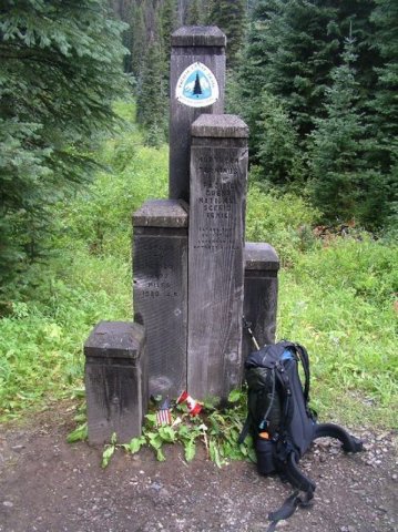
Northern Terminus | Manning Park, CA