DISTANCE : 2650 miles approx. (4265 km)
START : Campo, CA – US/Mexico border.
FINISH : Manning Park, US/Canada border.
MAPS / INFO :
- On my previous PCT hike in 2007, I used the PCT guidebooks (3), Data book and Yogi’s PCT Handbook for town information.
- This time around, I plan on using the PCT map set by former Thru-Hiker “Half Mile”.
- Click here for an overview map of the PCT.
ROUTE / CONDITIONS :
- For the most part the trail is well marked and easy to follow. The primary exception can be sections of the High Sierra, which generally remain snowbound into July.
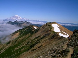
- Temperatures can range from scorching in the Mojave to below freezing in the High Sierra. Geographically speaking, the trail passes through deserts, lava fields, old-growth forests, glacier-carved valleys and snow capped peaks.
NOTES :
- This is the only one of the 12 walks which I have previously completed. Happily, it is also one of my all-time favourites. This time around I will be travelling lighter (7lb base weight instead of 14lb), faster (in 2007 I took more than 20 zero days in addition to a lengthy side trip to finish the JMT) and will begin the trail in much better shape.
Discover more from The Hiking Life
Subscribe to get the latest posts sent to your email.