On the morning of December 12, 2013, Justin “Trauma” Lichter and I reached the ‘Cumbres de Sinforosa’, the finishing point for our 381 mile (613 km) traverse of Mexico´s Copper Canyon region. To the best of our knowledge, it was the first time that such a trip had been undertaken.
It was an eventful journey, marked by memorable characters, amazing scenery, challenging terrain and a variety of clandestine “agricultural” fields. Below are links to the four journal entries from the Copper Canyon Traverse (CCT), along with a brief summary of trip miscellanea.
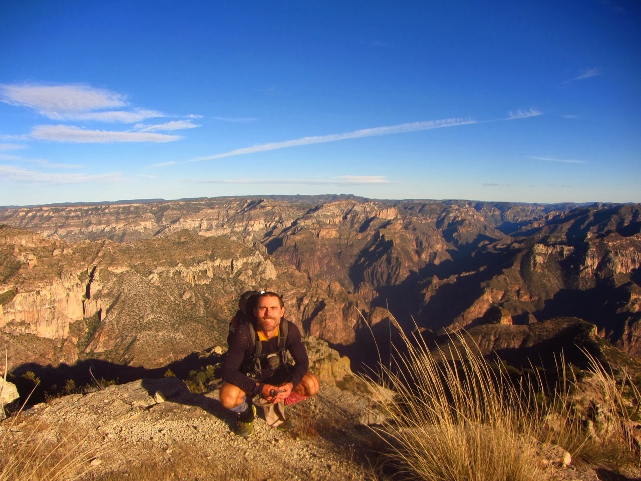
Yours truly overlooking Copper and Urique Canyons
Journal Entries
- CCT Stage 1 – Basaseachic Falls to Creel
- CCT Stage 2 – Creel to Divisadero
- CCT Stage 3 – Divisadero to Batopilas
- CCT Stage 4 – Batopilas to Cumbres de Sinforosa
Miscellanea
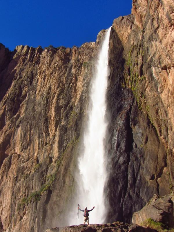
Justin Lichter at the base of Basaseachic Falls
Distance: 381 miles (613 km)
Time: 22 days
Start / Finish:
- Basaseachic Falls
- Cumbres de Sinforosa
Maps / Info:
- Justin and I used 1:50,000 INEGI maps for the Copper Canyon Traverse. They were the only option available. We pre-ordered all the maps for the traverse (both paper and digital versions) from East View Geospatial.
- For the type of technical terrain that we regularly encountered (e.g. pour-offs, narrow canyons, waterfalls), the relative lack of detail of the INEGI Topo maps made it nigh on impossible to think too far ahead in terms of arrival times and/or route choices.On numerous occasions we were forced to alter our plans and bushwhack up and over certain areas or backtrack to navigable side canyons in order to progress. The unpredictability factor was turned up to eleven, thanks to the constant discrepancy between man-made features (e.g. paths, dirt roads, mines, cemeteries, etc.) we encountered on the ground and those that appeared on our topographical sheets. Indeed, villages seemed to materialise and disappear without rhyme or reason……………sort of like a Mexican version of Brigadoon.
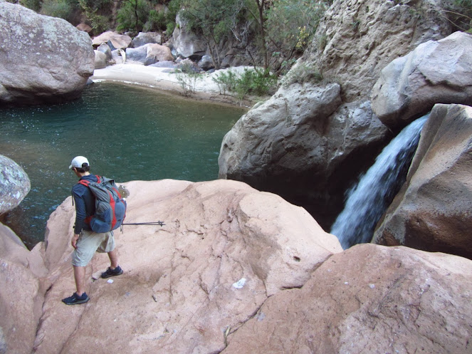
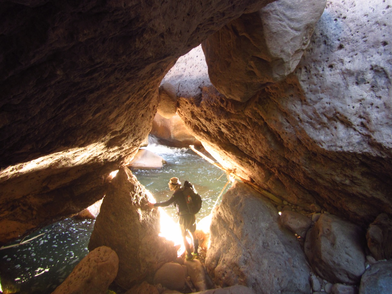
Justin Lichter | Taracuera Canyon
Route / Conditions:
- The traverse was a combination of hiking, packrafting, swimming, bushwhacking, scrambling, crawling and weaving our way around clandestine drug fields.
- Our route linked together the six major canyons (along with numerous minor ones) that constitute the Copper Canyon region. It took us from the region’s northwest corner (Basaseachi Falls) to its southeastern limits (Sinforosa Canyon). In the order in which they were traversed, the canyons were as follows:
- Candamena
- Oteros
- Copper
- Urique
- Batopilas
- Sinforosa
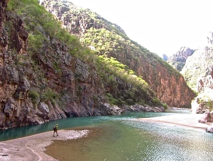
Justin Lichter | Urique Canyon
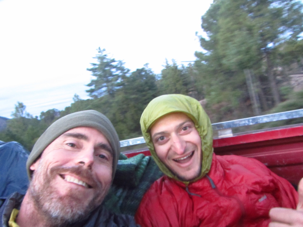
Swami & Trauma hitching back to resupply in Divisadero.
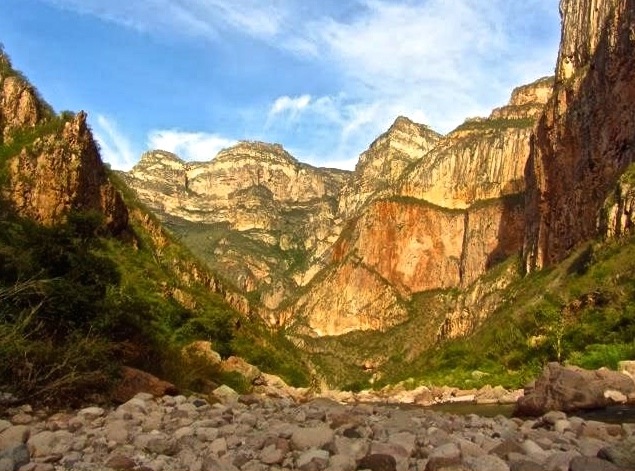
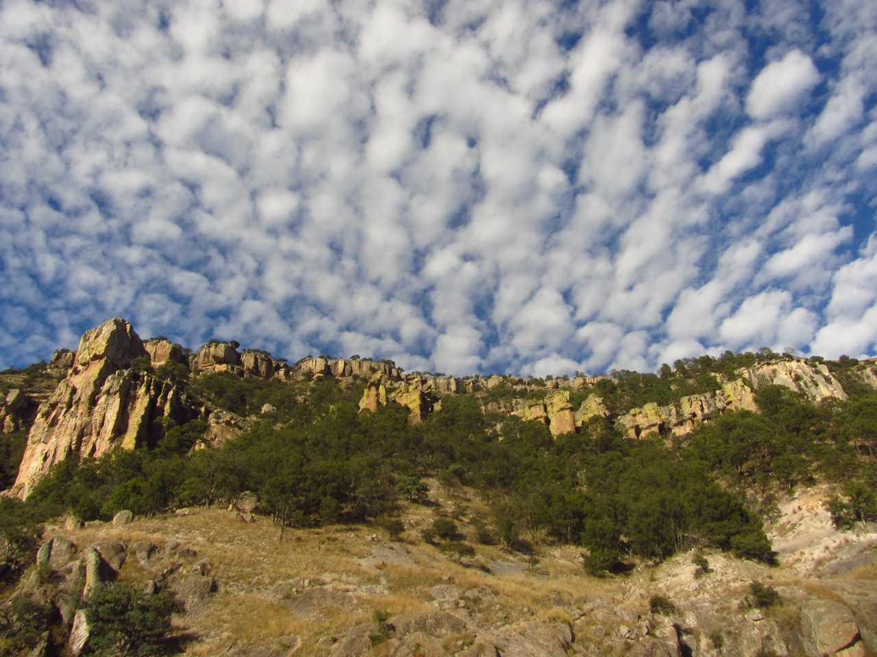
Sinforosa Canyon
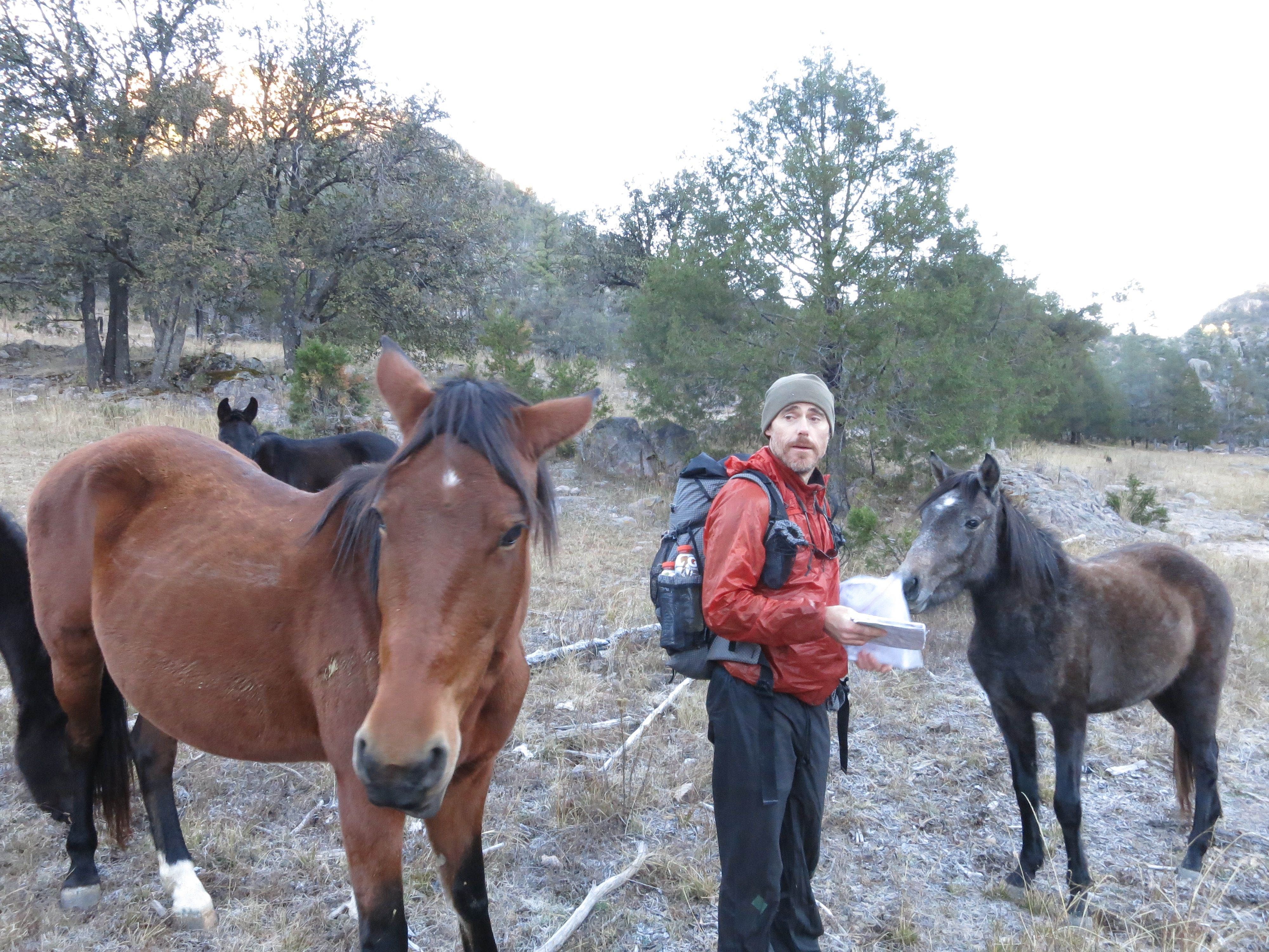
Navigation assistance from locals.
Cam Honan | Taracuera Canyon
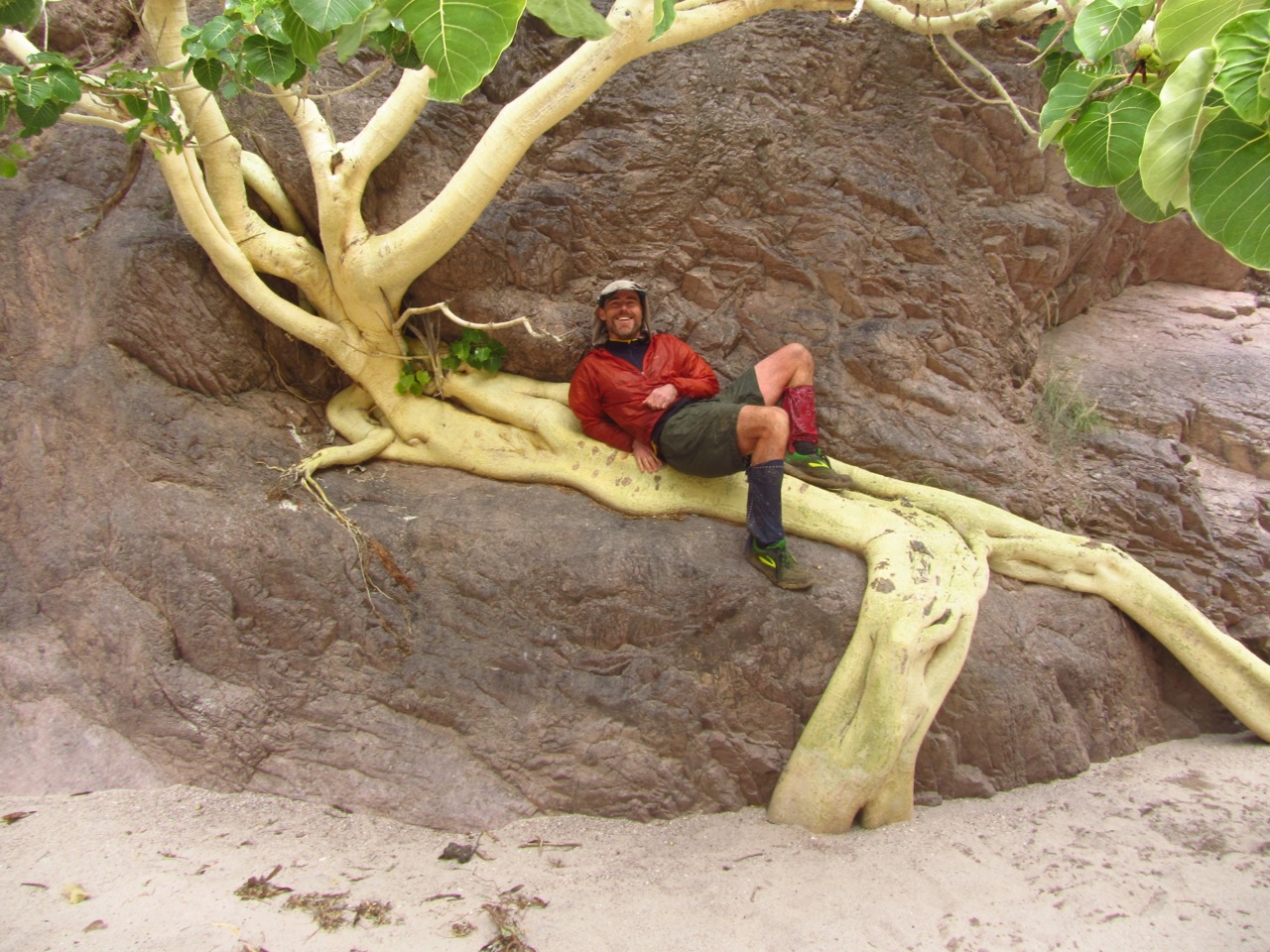
Strangler Fig | Copper Canyon
Ascending to Divisadero
Discover more from The Hiking Life
Subscribe to get the latest posts to your email.