Distance: 14.3 miles (23 km) approx.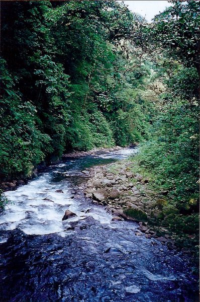
Avg.Time: 1 – 2 days
Start / Finish: Visitors Centre, Monteverde Cloud Forest Reserve.
Season:
- The dry season between December and April is ideal for hiking at Monteverde.
Difficulty: Easy
Maps / Info:
- A basic trail map can be obtained at the Visitor Centre, situated at the entrance to the Reserve.
- The Visitor Centre is also where you pay your entrance and hut accommodation fees.
- For the most up-to-date information on trail conditions, your best bet is, ………drum roll……….. the Visitor Centre.
- For general information on the Cloud Forest Reserve, see monteverdeinfo.com and Lonely Planet’s Costa Rica guidebook.
- All supplies can be purchased in Monteverde or Santa Elena.
Route / Conditions :
- From the visitor’s centre it’s approximately 12 km of easy hiking to Eladios Hut.
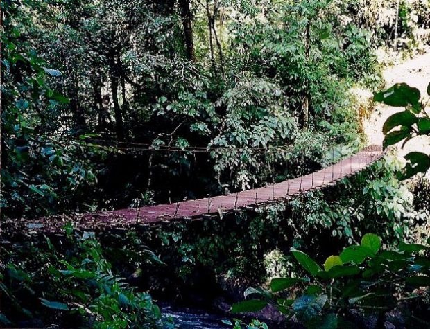
- From Eladios, recross the Rio Penas Blancas on the wooden swing bridge (see above photo), and head north to El Valle hut via the Sendero Catarata (waterfall path). When I hiked in 2000, this section of trail was extremely overgrown and at times difficult to follow.
- From El Valle hut, the trail is clear all the way back to the Visitor Centre (approx. 2-3 hrs).
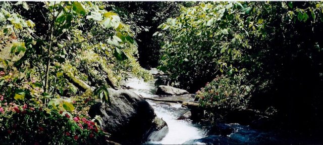
- Outside of the dry season, the cloud forest trails can be extremely muddy. Gaiters and rain jacket are definitely recommended.
Sleeping :
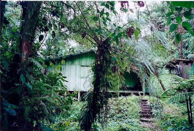
- The backcountry huts of La Leona, Eladios and El Valle are all excellent value. I overnighted at Eladios and had the place to myself.
Overview :
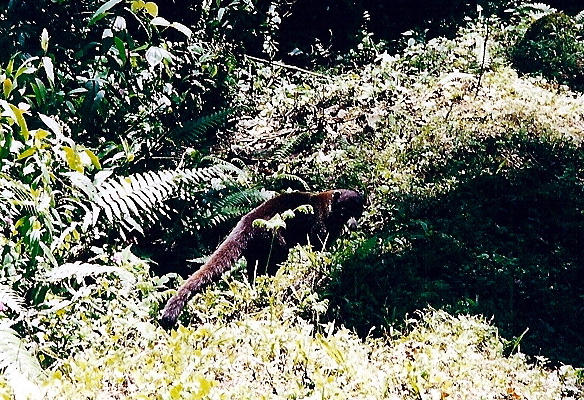
- Monteverde is a funny place. If you only visited the “Triangle” area around the Visitor’s Centre, which is what 99% of people seem to do, you would probably go away thinking the whole experience is a bit like an “Eco-Disneyland”. However, if you make the effort to walk a little bit further, and I’m only talking about an hour or two, all of a sudden you have one of the world’s most diverse rainforests pretty much to yourself.