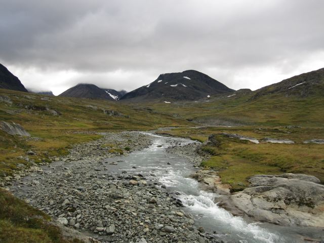
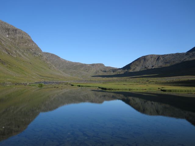
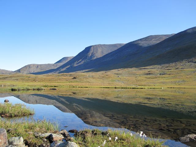
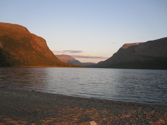
Established in the early 1900s, the Kungsleden (“King’s Way”) is Sweden’s most storied long-distance trail. In 2009, I hiked the northernmost section from Abisko to Vakkotavare, before linking up with a route I put together in the nearby Sarek National Park. This spectacular segment through the Scandinavian Arctic traverses open tundra and birch forests, along the way passing by groaning glaciers, scenic lakes, and Sweden’s highest mountain, Mount Kebnekaise (2,111 m / 6,926-ft).

At a Glance
Distance: 66.5 miles (107 km) approx
Average Time: 4 to 6 days
Difficulty: Moderate
Start / Finish :
- Abisko – Vakkotavare.
Getting There & Away:
- Abisko can be accessed by regular bus and train services. Vakkotavare is serviced only by buses.
Season:
- Mid- June to September. You can avoid most of the bugs by hiking after mid-August.
Maps / Info
- Guidebook: Cicerone Press, Trekking the Kungsleden (2019) includes a detailed route description, maps, and logistical details. Also available in Kindle format. Another option is Wayne and Danielle Fenton’s, Plan & Go: The Kungsleden (2017).
- Maps: Lantmateriets Fjallkarta series, 1:100,000, BD6 Abisko-Kebnekaise-Narvik and BD8 Kebnekaise-Saltoloukta. Both of these excellent maps are widely available in Sweden.
- GPS: You can download GPX data for the northern section of the Kungsleden from the following sites: Wikiloc (northern section) and Traildino (whole trail).
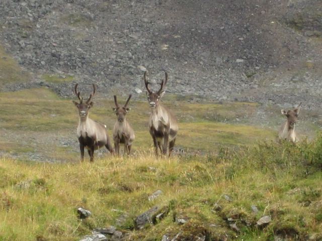
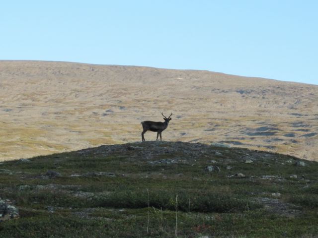
- Flora & Fauna:
Route / Conditions
- Signage & Trekking Notes: Well marked and easy to follow the entire way. See the Swedish Tourist Association (Kungsleden) for trekking notes for the entire trail.
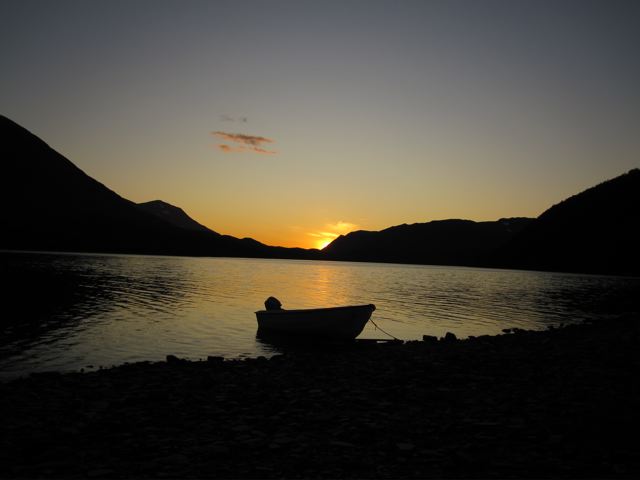
- Lake Crossing: When you reach Teusajaure, be sure to take the rowing option when crossing the lake. Great camping by the lake itself.
- I chose to forgo the more southerly sections of the Kungsleden, in order to link up with a route I wanted to do in Sarek National Park. If you have a reasonable level of backcountry experience, I would highly recommend this option. Sarek offers a much wilder, off-the-beaten-track experience than the Kungsleden. You can catch a bus from Vakkotavare to Ritsem, resupply at the store (a bit pricey, but reasonably well-stocked), and then catch the ferry over to Akka (for more details see Sarek National Park hike description).
Sleeping :
- Huts or camping. The huts are open between mid-June and mid-September. They cannot be booked in advance. Even if full, space will always be made.